At Grid Fly, we use high-resolution drone technology to capture detailed aerial imagery and generate accurate maps, models, and visual datasets. Our mapping and imaging services help businesses plan smarter, build faster, and monitor projects with precision and confidence. These aerial insights reveal patterns and issues that are often invisible from the ground, allowing for proactive planning and efficient problem-solving. Whether you’re managing a construction site or surveying undeveloped land, our data gives you the clarity you need to move forward with confidence.
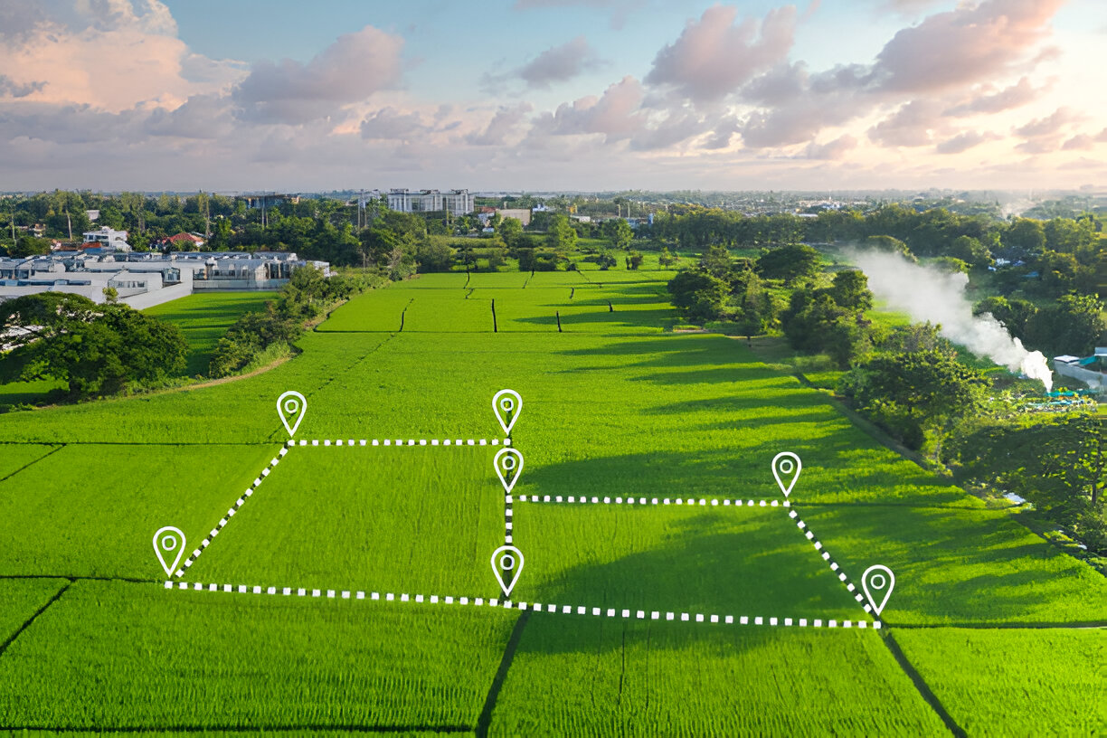
High-res aerial maps reveal key site details for efficient planning.
Precision Mapping, Built for Professionals
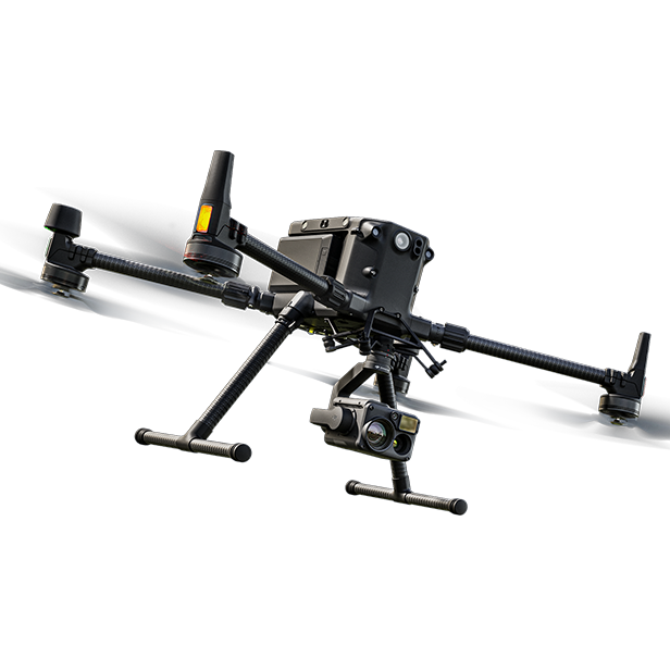
We capture high-accuracy geospatial data using the DJI Matrice 350 RTK drone, paired with GNSS corrections from the MnCORS network or a local base station. When higher precision is required, we supplement with ground control points (GCPs) collected via an Emlid RS3 GNSS receiver—achieving horizontal and vertical accuracy within 1–3 cm.
From orthomosaics to 3D point clouds, our drone mapping services deliver technical outputs that slot seamlessly into your existing workflows. Whether you’re working in Civil 3D, Trimble, or GIS platforms, we provide clean, clearly labeled data in formats like:
Orthomosaic imagery (GeoTIFF or JPEG)
3D point cloud (LAS/LAZ)
Digital surface models (TIFF, XYZ)
Contours (DXF, SHP)
GCP/checkpoint CSVs with WGS84 or site-local coordinates
Accuracy reports with residuals, when checkpoints are used
Data That Drives Smarter Decisions
We don’t just provide visuals—we deliver decision-ready data. Our drone maps and models are built with spatial accuracy in mind, tailored to support tasks like surveying, volumetric analysis, development planning, and infrastructure inspections.
By capturing site conditions from the air, we help your crews stay focused on what they do best—without pulling them away for data collection. Whether you’re monitoring progress, verifying quantities, or coordinating with subcontractors, our outputs give your team the insight they need to work faster, reduce rework, and build with confidence.