Grid Fly is a Minnesota-based drone services company delivering precise aerial data and imagery. Operated by FAA-certified pilot Carter Menz, we support mapping, inspections, and project documentation with a focus on quality and efficiency.
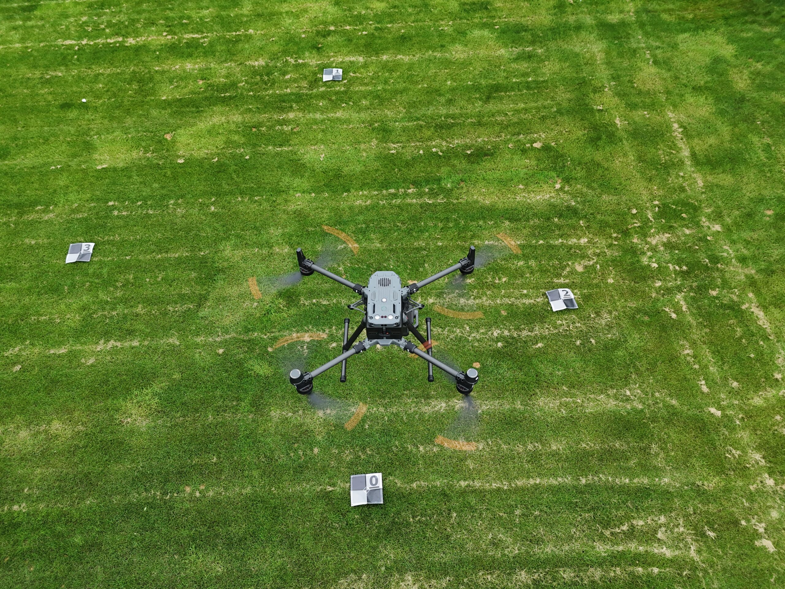
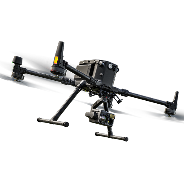
We use advanced drones with HD cameras, thermal sensors, and GPS for precise data.
Industry-Focused Services
Our drone solutions are customized for construction, real estate, events, and surveying industries.
Fast, Reliable Delivery
Quick turnaround times with high-quality results, keeping your projects on schedule and stress-free.
OUR VISION
A Higher Perspective
At Grid Fly, our vision is to revolutionize how businesses see and understand their world—by providing powerful perspectives as aerial experts that uncover insights, enhance storytelling, and drive smarter decision-making. We aim to become the leading name in drone-based visual solutions, trusted as aerial experts by industries to deliver clarity, creativity, and innovation from above. Whether it’s capturing progress, mapping landscapes, or creating cinematic content, our team of aerial experts is here to help clients rise above the ordinary.