High-Precision Drone Imaging, Mapping & Videography for Smarter Business Decisions
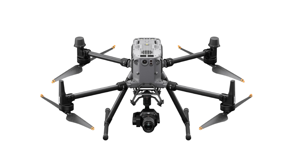

Grid Fly delivers stunning, high-quality aerial videography solutions.

Advanced drone imaging solutions for precision and clarity.

Accurate drone mapping solutions for data-driven business decisions.

What We Do

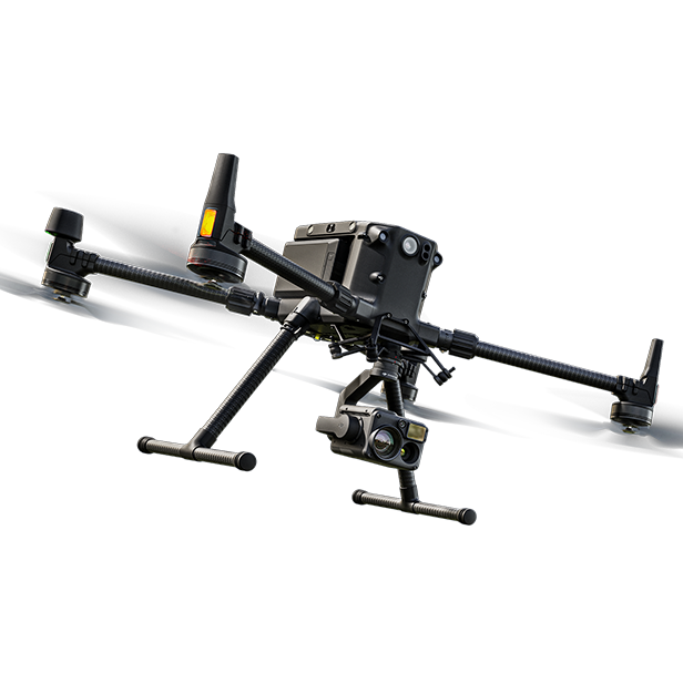
Using advanced LIDAR and photogrammetry, we create highly accurate maps and 3D models to support planning, engineering, and construction.
Capture your property, event, or project with cinematic drone videos and sharp, high-quality photos from every angle.
From start to finish, our drone images keep teams in sync and clients updated—no need to be on-site.
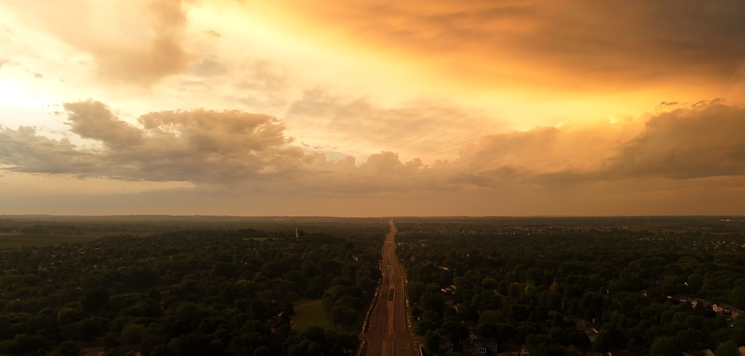
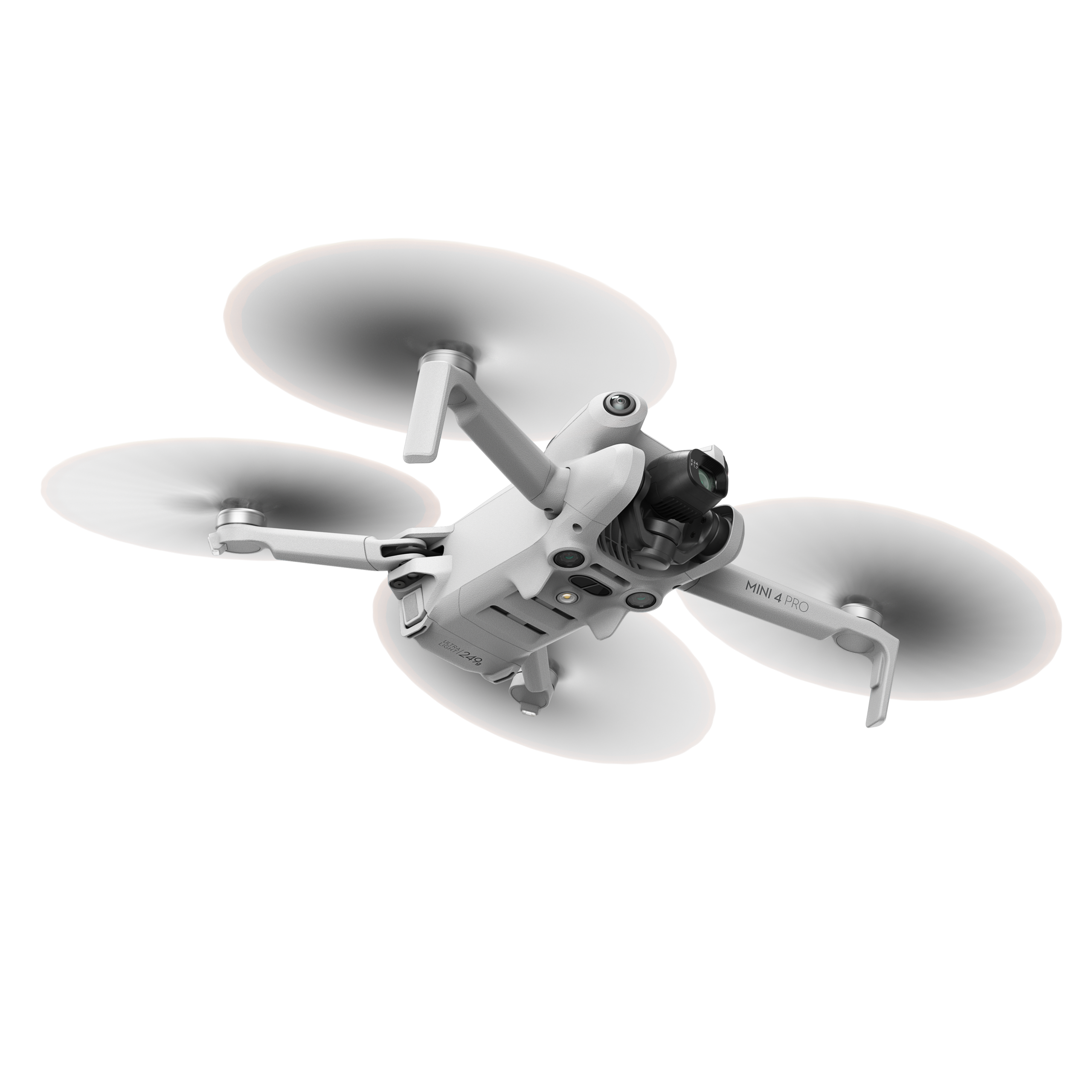

Discover the advanced technologies that make our drones smarter, faster, and more efficient for every mission.

Fly safer with intelligent navigation and obstacle avoidance.

Capture sharp, stabilized 4K aerial footage with precision.

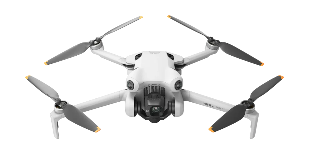

Instantly stream visuals and data during every flight.

Easily switching between cinematic, thermal, and LIDAR for custom drone applications.

Utilize advanced thermal drone inspections to detect heat anomalies, moisture issues, and insulation gaps ensuring efficient, safe, and cost-effective building maintenance solutions.

Lorem ipsum dolor sit amet, consectetur adipiscing elit, sed do eiusmod tempor incididunt ut labore et dolore magna aliqua. Ut enim ad minim veniam, quis nostrud exercitation.
Lorem ipsum dolor sit amet, consectetur adipiscing elit, sed do eiusmod tempor incididunt ut labore et dolore magna aliqua. Ut enim ad minim veniam, quis nostrud exercitation.


Let’s talk about how our drone services can help you capture what matters most.

Interested in the GRID FLY Drone? Contact us today for details!
Copyright©2025 GRID FLY. All rights are reserved