Home
>
About Us

Can this data be used by our licensed surveyor?
Yes. While we’re not licensed surveyors, all data is collected using an RTK-enabled drone with GNSS corrections from MnCORS or a local base. When required, we establish and measure ground control points (GCPs) with an Emlid RS3 GNSS receiver, achieving accuracy within 1–3 cm horizontally and vertically. The resulting datasets can be directly integrated into a licensed surveyor’s workflow.
What deliverables do you provide?
Typical deliverables include:
High-resolution orthomosaic (GeoTIFF + overview JPEG)
LiDAR / Photogrammetry point cloud (LAS/LAZ – classified if requested)
Digital Terrain Model (DTM, bare earth raster – GeoTIFF)
Digital Surface Model (DSM, first return raster – GeoTIFF)
GCP & checkpoint CSVs
Accuracy report (PDF or TXT with independent checkpoint RMSE)
What coordinate systems do you support?
Default: NAD83(2011) / Minnesota South State Plane (U.S. survey feet) + NAVD88 (ft)
Other State Plane zones or WGS84 available upon request
Local project-specific systems supported if control is provided
How accurate is your data?
With RTK and proper GCP workflow:
Horizontal Accuracy: ±1–2 cm
Vertical Accuracy: ±2–4 cm
Accuracy reports are included upon request using independent checkpoints.
Can our surveyor import this into Civil 3D or Trimble?
Yes. Deliverables include full georeferencing metadata, projection info, and clearly labeled coordinate systems. Files are Civil 3D and Trimble-ready, and we’re happy to coordinate with your surveyor to ensure smooth import and alignment.
How fast is turnaround?
Standard: 48–72 hours
Rush: 24 hours (available upon request)
Anything you need from us beforehand?
To ensure alignment with your site work, we may request:
Existing control point coordinates (if available)
Preferred coordinate system or projection
Recent survey/plan for reference
We specialize in aerial mapping, photography, videography, and thermal imaging for industries like construction, real estate, and events.
Yes, all our pilots are fully licensed and insured, ensuring safe, legal, and professional drone operations every time.
Turnaround time typically ranges from 24 to 72 hours, depending on the project size and editing requirements.
We handle all necessary permits and approvals, and we follow strict airspace regulations to fly safely in complex environments.


Let’s talk about how our drone services can help you capture what matters most.

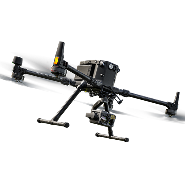
Interested in the GRID FLY Drone? Contact us today for details!
Copyright©2025 GRID FLY. All rights are reserved