Home
>
About Us
What We Do
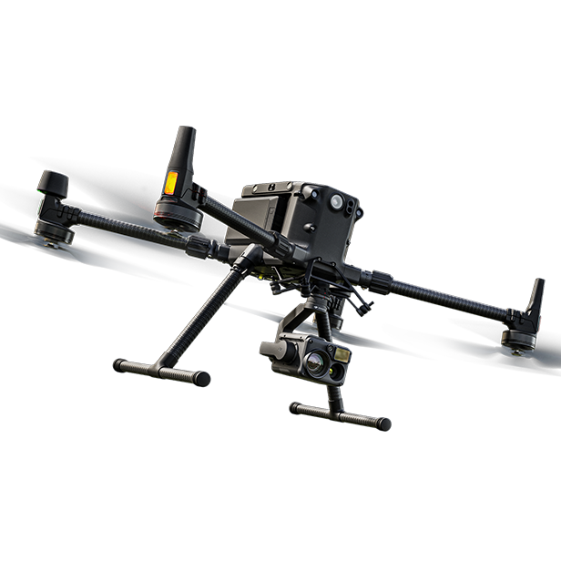
Using advanced LIDAR and photogrammetry, we create highly accurate maps and 3D models to support planning, engineering, and construction.
Capture your property, event, or project with cinematic drone videos and sharp, high-quality photos from every angle.
From start to finish, our drone images keep teams in sync and clients updated—no need to be on-site.
LIDAR technology and convert them into detailed maps or 3D site models.
Showcase properties, events, or projects with cinematic aerial videos and high-resolution photos.
Identify hidden heat variations in structures, helping detect insulation, electrical, and roofing issues early.
Safely inspect rooftops, towers, and infrastructure using drones for accurate, real-time visual assessments.
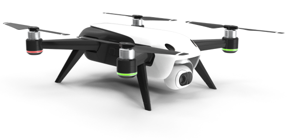
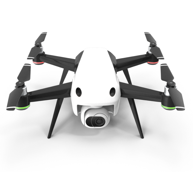
Discover the advanced technologies that make our drones smarter, faster, and more efficient for every mission.
Fly safer with intelligent navigation and obstacle avoidance.
Capture sharp, stabilized 4K aerial footage with precision.
Instantly stream visuals and data during every flight.
Easily switching between cinematic, thermal, and LIDAR for custom drone applications.